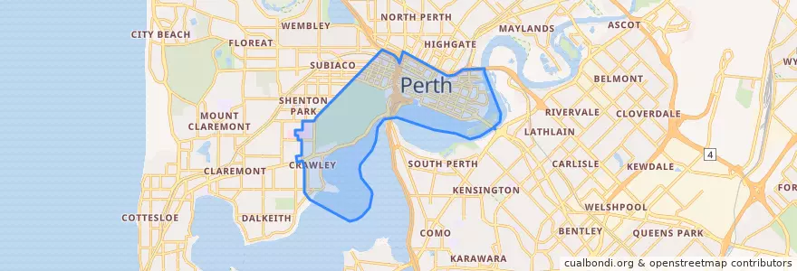
City Of Perth
Recorridos de transporte público
Paradas
- Perth Station
- Main Roads
- Haig Park Circle
- Haig Park Circle
- Cloisters
- Barrack Square
- Elizabeth Quay Bus Station B5
- Nile Street
- Raine Square
- Town Hall
- Don Aitken Centre
- Cloisters
- Colin Street
- Milligan Street
- Royal Square
- Horseshoe Bridge
- Wellington Square
- Raine Square
- Town Hall
- Ord Street
- Thomas Street
- Forrest Place
- Beaufort Street after Newcastle Street
- Sutherland Street
- Horseshoe Bridge
- Carlton
- Harold Boas Gardens
- Beaufort Street after Parry Street
- Western Power
- Perth Mint
Puntos de interés
- Croissant Express
- Mo Espresso
- Commonwealth Bank
- Hero Tang Tea
- Zambrero
- Gami
- Barrack Street Jetty
- Noren
- The Bonsai Restaurant & Cafe Lounge
- Hifumiya
- Butterfly 73
- Picabar beer garden
- Efes Bir
- San Churro
- Frisk
- Gong Cha
- Billy Lee's Chinese
- Los Bravos
- Red Rooster
- Jaws Japanese Restaurant
- Education and Training International
- Croissant Express
- Krispy Kreme
- Bankok Brothers
- Westpac Bank
- The Green Room
- Youth With A Mission
- Hawker‘s Cuisine
- Golden Century
- Flora and Fauna