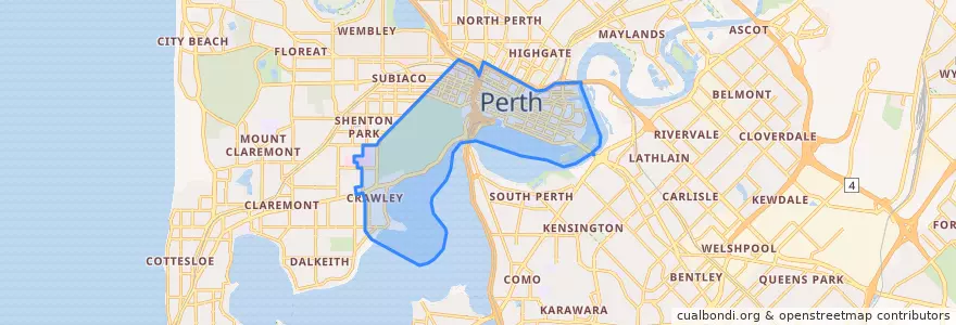
City Of Perth
Percorsi di trasporto pubblico
Fermate
- Royal Perth Hospital
- Hospital Avenue after Monash Avenue
- Monash Avenue after Kanimbla Road
- Perth Underground
- Educational Department
- Hill Street
- Plain Street
- Hospital Avenue before Monash Avenue
- Ord Street
- Mounts Bay Road - University of Western Australia
- Sutherland Street
- TAFE
- East Perth Cemeteries
- Kings Park Road
- Wellington Street after William Street
- Thomas Street
- His Majesty's
- WACA
- Mill Street
- Victoria Gardens
- Cloisters
- Barrack Square
- Lord Street
- Wellington Square
- Western Power
- Aberdeen Street
- Perth Busport Stand 16
- William Street Stand 5
- Plain Street
- Perth Station
Punti di interesse
- The Aviary
- maya masala
- Etro
- Drinking water
- 1907 Restaurant & Bar
- ANZ
- Ribs & Burgers
- Food Court
- Fenians Pub
- Zambrero
- Le Vietnam
- Pretzel cafe (Pink shipping container)
- Old Lane Street Eat
- Gami
- Holmes & Co,
- Tartine
- Narrows Interchange Public Toilets
- rediATM
- Mess
- Children's Emergency
- Red Rooster
- Lucky Rentals Perth
- Wonderbowl
- Caffisimo
- Noren
- Shushi
- Whiskey bar
- Commonwealth Bank
- La cholita
- C Restaurant