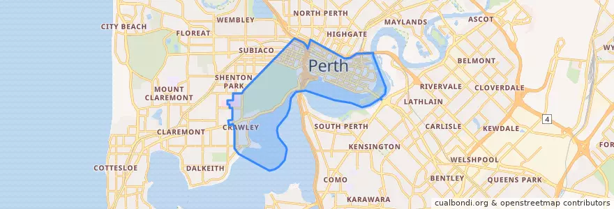
City Of Perth
مسیرهای حمل و نقل عمومی
ایستگاه
- Horseshoe Bridge
- Arena
- Elizabeth Quay
- Plain Street
- Harvest Terrace
- Perth Underground
- Elizabeth Quay Bus Station B5
- Ord Street
- Museum
- Russell Square
- Western Power
- Harvest Terrace
- Horseshoe Bridge
- Plain Street
- Outram Street
- City West Station
- Bennett Street
- Harold Boas Gardens
- Emerald Terrace
- Forrest Place
- Northbridge
- Main Roads
- Mercedes College
- James Street
- Elizabeth Quay Bus Station B4
- Queens Gardens
- West Perth
- Sutherland Street
- Sutherland Street
- Yagan Square
نقاط مورد علاقه
- Fenians Pub
- McDonald's
- Annalakshmi on the Swan
- Medya kebab
- Market Hall Bar
- Hero Tang Tea
- new
- Priceline Pharmacy
- PappaRich
- The Coffee Club
- Juice Station
- Gong Cha
- Palsaik
- Northbridge Brewing Company
- Hearth
- Red Rooster
- The Standard
- Edosei
- francoforte Spaghetti Bar
- Rapture
- Bad Lands
- Commonwealth Bank
- The Aviary
- Govindas
- James St Bar + Kitchen
- Kukan
- Dôme;Tartine
- McDonald's
- Wild West Charters
- City Square Café Court