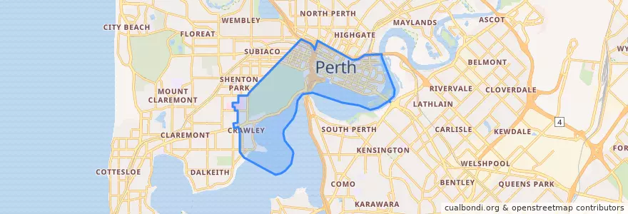
City Of Perth
Toplu taşıma yolları
Durur
- Milligan Street
- Wellington Square
- Harold Boas Gardens
- Western Power
- Haig Park Circle
- Perth Mint
- Bennett Street
- Perth Station
- Cloisters
- Hay Street
- Mounts Bay Road - University of Western Australia
- Harvest Terrace
- Haig Park Circle
- Cloisters
- Museum
- Beaufort Street after Newcastle Street
- Hay Street
- Beaufort Street before Aberdeen Street
- Royal Perth Hospital
- Mill Street
- Havelock Street
- Barrack Square
- Lord Street
- James Street
- Elizabeth Quay Bus Station B4
- Wellington Square
- Royal Perth Hospital
- Raine Square
- Wellington Street before Forrest Place
- Educational Department
İlgi noktaları
- Hungry Jacks
- Westpac Bank
- K Town
- ANZ
- Trustee
- The Island
- Gami
- 1907 Restaurant & Bar
- Brown Fox
- Mad Mex
- Coconut Grove
- Six Fortune
- Subway
- The Royal
- Metro Bar & Grill
- Max + Sons
- Holmes & Co,
- Fix Espresso
- Krispy Kreme
- Bar138 on barrack
- Miss Maud
- Perth District Police Station
- Hao Szechan
- Domino's
- offshoot
- Golden Century
- Fenians Pub
- Lucky Rentals Perth
- Ippudo
- No Mafia