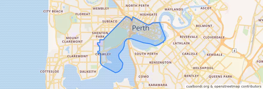
City Of Perth
대중 교통 경로
버스 정류장
- WACA
- Sutherland Street
- Lord Street
- Outram Street
- East Perth Cemeteries
- TAFE
- Parliament
- Wellington Street before Forrest Place
- Sutherland Street
- Ord Street
- Pier Street
- Elizabeth Quay Bus Station B5
- Harvest Terrace
- Royal Perth Hospital
- Regal Place
- Raine Square
- Hospital Avenue after Monash Avenue
- Elizabeth Quay Bus Station Stand A3
- Royal St Car Park
- Aberdeen Street
- Health Department
- Perth Mint
- Kings Park Road
- Museum
- Beaufort Street after Newcastle Street
- Harold Boas Gardens
- Barrack Square
- Elizabeth Quay Bus Station B4
- Royal Perth Hospital
- Lord Street
가볼만한 곳
- Dragon Palace
- Commonwealth Bank
- Short Order Burger Co
- The Secret Garden
- Zambrero
- Shots
- Bookend
- No Mafia Italian
- Palsaik
- Market Hall Bar
- Bam Bam Boo
- Aisuru Sushi
- Jack Rabbit Slim's
- Rubix
- Capitol
- Priceline Pharmacy
- Holmes & Co,
- Elizabeth Quay Ferry Terminal
- Hearth
- Cafe Bellavista
- Brown Fox
- Subway
- Annalakshmi on the Swan
- Govindas
- ANZ Bank
- Northbridge Pharmacy
- Food Court
- Pepper Lunch
- Domino's
- K Town