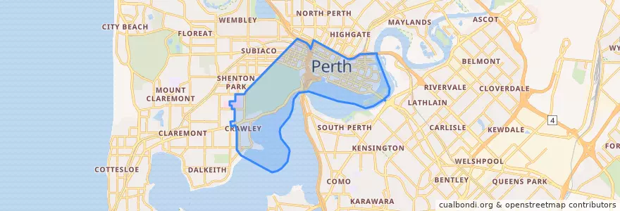
City Of Perth
公共交通機関のルート
ストップ
- Don Aitken Centre
- Wellington Street before Forrest Place
- Haig Park Circle
- Health Department
- QV1
- Hill Street
- Queens Gardens
- Carlton
- Ord Street
- Western Power
- City West Station
- Ord Street
- Barrack Square
- Carlton
- Wellington Square
- Town Hall
- Victoria Gardens
- Thomas Street
- Hay Street
- Royal Perth Hospital
- Perth Mint
- Beaufort Street Bridge
- Elizabeth Quay Bus Station B4
- Milligan Street
- Royal Square
- Claisebrook Station
- Western Power
- Sutherland Street
- Beaufort Street after Parry Street
- Hospital Avenue before Monash Avenue
興味がある点
- Kosta's
- Westpac Bank
- Commonwealth Bank
- Market grounds
- Etro
- Caffissimo
- OMG Coffee & Toastie
- Chimek
- ANZ Bank
- Sneaky Tony's
- Tuck Shop
- Golmok Sikdang
- Pizza Hut
- Pancakes at Carillon
- Presotea
- Chemist Warehouse
- KFC
- San Churro
- Basilica
- Nene Chicken
- Shushi
- Barrack Street
- Golden Century
- TAKA
- Bankwest
- Twadori
- rediATM
- Omar's
- Krispy Kreme
- Bankwest