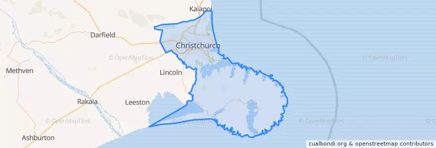
Christchurch City
公共交通路线
地方
停止
- 172.6268468, -43.5352027
- 172.5993636, -43.529738
- 172.6584688, -43.5401891
- 42651
- 30657
- 172.63008770000002, -43.5364494
- 172.7416947, -43.5649614
- 172.60110360000002, -43.529741200000004
- Sumner terminus
- 30626
- 172.6226796, -43.533911200000006
- Christchurch Airport bus stop
- 172.5979696, -43.529972900000004
- 44196
- 42343
- 30642
- 172.6846945, -43.550167200000004
兴趣点
- Little India
- The Foundry
- Wilson's Sports Bar
- Nucleus
- Cosmo Pharmacy
- BP Connect
- Velvet Burger
- Travelex
- The lucky Thai
- The Coffee Club
- No Name Food Bar
- Empire Coffee
- BNZ
- Mumbaiwala
- Manaia Lounge
- Christchurch Art Gallery Car Park
- New Zealand Post
- Banks Peninsula Community
- Seoul Tiger
- Travellers Autobarn
- uncommon
- Colombo Dental
- Rollickin Gelato Cafe
- The Embankment
- Shaka Bros
- Ancestral
- Spreydon-Cashmere Community
- Sedap Malay Street Kitchen
- Bohemian Bakery
- Sasons