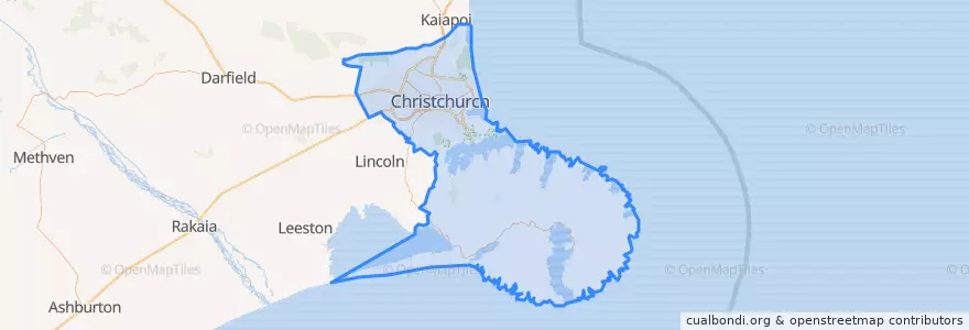
Christchurch City
مسیرهای حمل و نقل عمومی
اماکن
ایستگاه
- 30642
- 42651
- 172.5979696, -43.529972900000004
- 42343
- 44196
- 172.60110360000002, -43.529741200000004
- 172.5993636, -43.529738
- 172.7416947, -43.5649614
- 172.6268468, -43.5352027
- 172.6584688, -43.5401891
- Sumner terminus
- 30626
- 172.63008770000002, -43.5364494
- 30657
- Christchurch Airport bus stop
- 172.6846945, -43.550167200000004
- 172.6226796, -43.533911200000006
نقاط مورد علاقه
- Domino's Pizza
- Nando"s, Riccarton
- Wholly Bagels and Pizza
- Samurai Bowl
- Southern Regional Health School
- Dimitris Greek Food
- Sushi Ya
- Chic
- The Monday Room
- Foundation Cafe
- yamagen
- Ello
- Empire Chicken
- Nobanno
- Westend Stories
- Tramway Restaurant
- The Happening Bar and Kitchen
- Riccarton Seafood's
- Engine Coffee Brewers
- Stock Xchange
- Cleaver & Co
- Travellers Autobarn
- Wendy's
- MAINZ Christchurch
- St Pierres
- Pure Pulp
- Christchurch Community House
- Sai Touch of Spice
- Sal's
- Lemon Tree Cafe