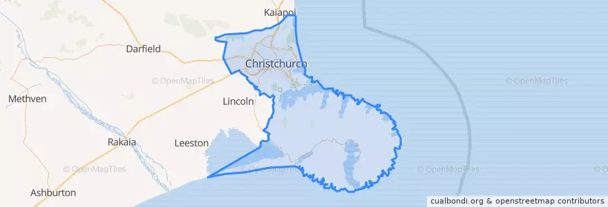
Christchurch City
Routen des öffentlichen Verkehrs
Orte
Haltestellen
- 172.7416947, -43.5649614
- Christchurch Airport bus stop
- 172.63008770000002, -43.5364494
- 172.5979696, -43.529972900000004
- 172.5993636, -43.529738
- 42651
- 30657
- 172.6226796, -43.533911200000006
- 172.6846945, -43.550167200000004
- 172.60110360000002, -43.529741200000004
- Sumner terminus
- 30642
- 30626
- 42343
- 172.6584688, -43.5401891
- 44196
- 172.6268468, -43.5352027
Sehenswürdigkeiten
- Burger Fuel
- Domino's
- Life Pharmacy
- Ed Hopper
- Ferry Indians
- Arjee Bhajee
- Sal's
- Sasuke
- The Good Goat
- Strange Bandit
- Untouched World Cafe
- Chilli Flakes Indian Restaraunt
- The Cuban
- SoYo
- Ferrymead
- C1 Espresso
- The Kitchen
- Black and White Coffee Cartel
- Alligator Pizza
- Mum's 24
- Riccarton Seafood's
- Hell Pizza
- EntX
- Woolston Community Library
- Christchurch Central Police Station
- Christchurch Art Gallery Car Park
- Colombo Dental
- Subway
- Saint Martins
- Samurai Bowl