Christchurch City
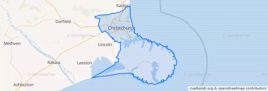
Itinéraires des transports publics
Endroits
Arrêts
- Sumner terminus
- 30642
- 172.6226796, -43.533911200000006
- 172.63008770000002, -43.5364494
- Christchurch Airport bus stop
- 172.7416947, -43.5649614
- 172.60110360000002, -43.529741200000004
- 44196
- 172.5993636, -43.529738
- 172.6584688, -43.5401891
- 172.6268468, -43.5352027
- 172.5979696, -43.529972900000004
- 42343
- 30626
- 30657
- 172.6846945, -43.550167200000004
- 42651
Points d'interêts
- Caltex
- Ferry Indians
- Air New Zealand Domestic Koru Lounge
- @Tonys Teppan Yaki Restaurant
- Hell Pizza
- One Good Horse
- Thai Box
- The Kitchen
- Bunsen
- Kum Pun
- Expresso to go
- Cafe Mosaic
- Kenzo
- Rental Cars
- Maison de Crêpes
- Mt Pleasant Medical Centre
- The Dragon Express Restaurant
- Glaces Ben and Jerry
- Christchurch Community House
- Hawker & Roll
- Native Thai Restaurant
- Mexico
- Pot Sticker
- KinderCare
- Foo Sing Takeaways
- Flint
- KFC
- Wyatt Chemist Ltd
- Dux Central
- The Cuban