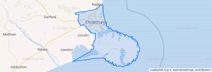
Christchurch City
대중 교통 경로
장소
버스 정류장
- 44196
- 172.6226796, -43.533911200000006
- 42651
- 42343
- 172.5993636, -43.529738
- 172.63008770000002, -43.5364494
- 172.6846945, -43.550167200000004
- 172.6268468, -43.5352027
- 172.60110360000002, -43.529741200000004
- Sumner terminus
- 30657
- 30642
- 30626
- 172.6584688, -43.5401891
- Christchurch Airport bus stop
- 172.5979696, -43.529972900000004
- 172.7416947, -43.5649614
가볼만한 곳
- South City Food Court
- Ed Hopper
- The Coffee Club
- Omega Rental Cars Christchurch City Depot
- Christchurch Community House
- Chichi Kitchen
- Retropolitan Social Club
- Metro Lounge
- Not Without You
- 10280
- Three cows cafe & restaurant
- Kombucha Girls
- Foo Sing Takeaways
- Made
- Wilsons Barrington Pharmacy
- City Garden
- Bowker Fountain
- Saint Martins
- Solar Powered Phone Charging Station
- Foundation Cafe
- Novel
- Mobil Woolston
- Pharmacy Xtra
- SuRa Teppanyaki
- KFC
- MAINZ Christchurch
- Saigon Star
- Tap n grind
- BNZ
- The Undercroft