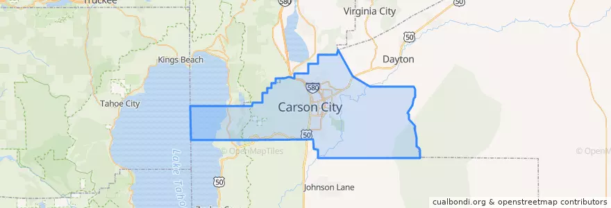
Carson City
Recorridos de transporte público
Lugares
- Carson City(8)
Paradas
- Long/Marian
- Division / 3rd
- Washington / Curry
- Silver Sage / Clearview
- Clearview / Oak
- Silver Sage / Colorado
- Clearview / US 395
- Hot Springs / Northgate
- Post Office [Roop/Randall]
- Silver Sage / Vintage
- Medical / Vista
- Silver Sage / Pioche
- Winnie/Lone Mountain
- Robinson/Walsh
- Merrimer Cottages
- Hot Springs / Retail
- College/Imperial
- Roop / Fairview
- Clear Creek / Snyder
- Koontz / US 395
- Carson-Tahoe Regional Medical Center
- Division / 7th
- Roop/Beverly
- Silver Sage / Sonoma
- Nevada State Legislature
- Little / Roop
- Hot Springs/Northgate
- California / Industrial Park
- Tenth / Nevada
- Stewart / 8th
Puntos de interés
- Bully's
- Domino's
- Silver State High School
- Carson City Library
- Wells Fargo
- Carson City
- Dutch Bros. Coffee
- Carson City Courthouse
- Wendy's
- Bank of America
- Boys & Girls Club
- Arby's
- Garibaldi's Ristorante Italiano
- Nevada State Bank
- KFC
- Ormsby House
- Mountain View Health and Rehabilitation Center
- Golden Gate
- Pioneer High School
- McDonald's (former)
- Bethlehem Lutheran School
- Subway
- Starbucks
- Jimmy John's
- Martha Gleason Elementary School
- Cactus Jack's Senator Club
- Maverik
- Z Bistro
- Sassafras - Eclected Food Joint
- Starbucks