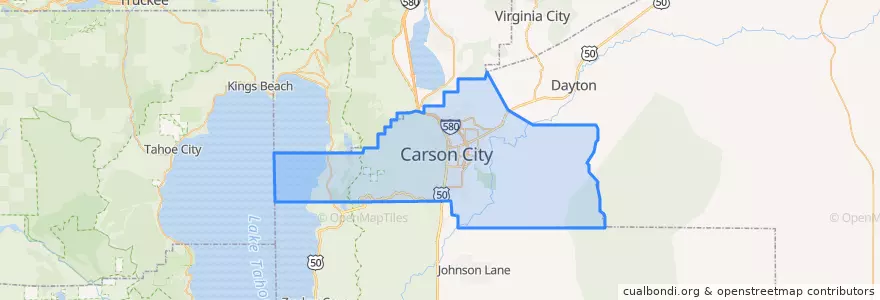
Carson City
مسیرهای حمل و نقل عمومی
اماکن
- Carson City(8)
ایستگاه
- Hot Springs / Northgate
- Sierra Surgical Center
- Silver Sage / Raven
- California / Industrial Park
- Tenth / Nevada
- Roop/Beverly
- Beverly/Marian
- Health & Human Services
- Winnie/Lone Mountain
- Silver Sage / Pioche
- Division / Washington
- Hot Springs/Pine
- Hot Springs/Northgate
- Casino Fandango
- Roop / Fairview
- Silver Sage / Sonoma
- Hot Springs/Retail
- Robinson/Walsh
- College / Carson
- College/Granite
- Clearview / US 395
- Little / Roop
- College / Roop
- Roop/Washington
- Roop/Washington
- Carson/Hot Springs
- Stewart/Little
- Silver Sage / Clearview
- Roop/Stewart
- Silver Sage / Roland
نقاط مورد علاقه
- Carson City Post Office
- KFC
- Golden Gate
- Little Timbers Academy
- Christian Science Church in Carson City
- Dickey's Barbecue Pit
- Bethlehem Lutheran School
- Bully's
- Empire Elementary School
- Shell
- Subway
- Carson City
- Legislature Building Parking Garage
- Dutch Bros. Coffee
- 7-Eleven
- USPS
- Domino's
- Burger King
- Pioneer High School
- Golden Gate
- Ormsby House
- Taco Bell
- Yogurt Beach
- Garibaldi's Ristorante Italiano
- Silver State High School
- The Fox Brewpub
- McDonald's (former)
- Jack in the Box
- Wendy's
- Mountain View Health and Rehabilitation Center