Carson City
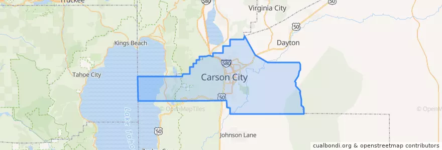
Routes of public transport
Places
- Carson City(8)
Stops
- Silver Sage / Sonoma
- Winnie/Carson
- Silver Sage / Roland
- Hot Springs / Northgate
- Hot Springs / Pine
- Stewart / 8th
- College/Granite
- Beverly/Marian
- Clearview / US 395
- Governors Field
- Carson/Silver Oak
- 5th / Plaza
- Silver Sage / Clearview
- Silver Sage / Pioche
- Roop / Fairview
- Roop / Evelyn
- Clearview / US 395
- Clear Creek / Center
- Koontz / US 395
- Robinson/Walsh
- Hot Springs/Retail
- Curry/8th
- Silver Sage / Raven
- Silver Sage / Stafford
- Stewart/5th
- Silver Sage / Stafford
- Division / 3rd
- Plaza/Washington
- Roop/Washington
- Roop/Stewart
Points of interest
- Thai Thai
- Jimmy John's
- Cactus Jack's Senator Club
- Bully's
- Starbucks
- 7-Eleven
- Sonic
- Circle K
- Carson City
- Greater Nevada Credit Union
- High Sierra Brewing Co, Inc.
- Wells Fargo
- Maverik
- Burger King
- Dickey's Barbecue Pit
- Z Bistro
- Bethlehem Lutheran School
- Taco Bell
- Empire Elementary School
- Mangia Tutto Pizzeria e Ristorante
- Bank of America
- Golden Gate
- Subway
- Bordewich-Bray Elementary School
- Arby's
- Starbucks
- Boys & Girls Club
- Legislature Building Parking Garage
- Arco
- Carson Nursing and Rehabilitation Center