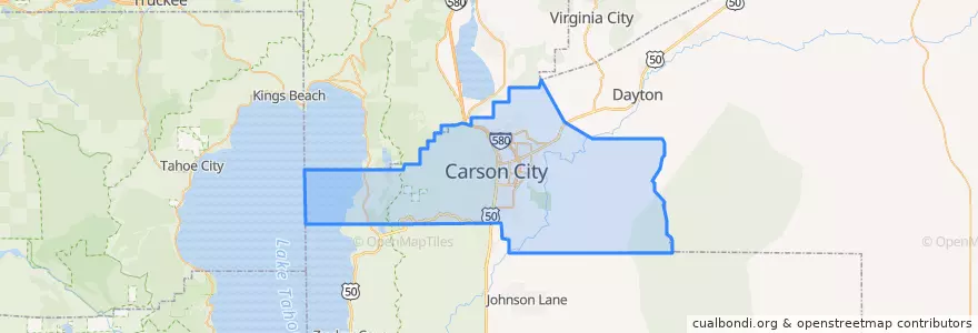
Carson City
대중 교통 경로
장소
- Carson City(8)
버스 정류장
- Roop / Fairview
- Beverly/Marian
- Hot Springs / Retail
- Silver Sage / Clearview
- Silver Sage / Vintage
- Division / King
- Stewart / 8th
- Koontz / US 395
- Silver Sage / Roland
- California / Industrial Park
- California / Ind. Park
- -119.77725810000001, 39.1156979
- Hot Springs/Northgate
- College/Granite
- Hot Springs / Pine
- Division / 7th
- Plaza/Washington
- College/Imperial
- Roop/Washington
- Division / Washington
- Roop/Washington
- Tenth / Nevada
- College / Carson
- Silver Sage / Raven
- Curry/8th
- Roop / Evelyn
- Winnie/Lone Mountain
- Clear Creek / Snyder
- 5th / Plaza
- Casino Fandango
가볼만한 곳
- Garibaldi's Ristorante Italiano
- Maverik
- Bully's
- Del Taco
- Shoe Tree Brewing Company
- Greater Nevada Credit Union
- Mangia Tutto Pizzeria e Ristorante
- Martha Gleason Elementary School
- CVS
- Carson City Library
- Sonic
- Los Garcias Mexican Restaurant
- U.S. Bank
- Carson Montessori School
- Pioneer High School
- Dotty's Casino
- United Federal Credit Union
- Jimmy John's
- Wendy's
- Thai Thai
- Wells Fargo
- Christian Science Church in Carson City
- Subway
- Jimmy G's Cigar Bar
- Carson City
- Carson City
- Carson City Post Office
- Cactus Jack's Senator Club
- Golden Gate
- Z Bistro