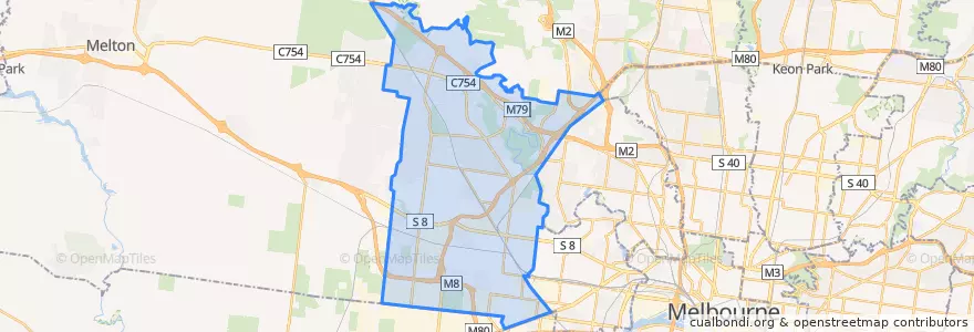
Anmelden
Star-Benutzer
Umfrage
Startseite
>
Australien
>
Victoria
>
City of Brimbank
City Of Brimbank
Siehe in der interaktiven Karte
Routen des öffentlichen Verkehrs
Bus 216: City (Queen Street) => Dynon Road => Sunshine Station
Bus 216: Sunshine Station => Dynon Road => City (Queen Street)
Bus 220: City (Queen Street) => Footscray Road => Sunshine Station
Bus 220: Sunshine Station => Footscray Road => City (Queen Street)
Bus 400: Laverton Station => Robinsons Road => Sunshine Station
Bus 400: Sunshine Station => Robinsons Road => Laverton Station
Bus 408: Highpoint Shopping Centre => Sunshine Station => St Albans Station
Bus 408: St Albans Station => Sunshine Station => Highpoint Shopping Centre
Bus 418: Caroline Springs => Keilor Plains Station => St Albans Station
Bus 418: St Albans Station => Keilor Plains Station => Caroline Springs
Bus 419: St Albans Station => Keilor Downs => Watergardens Station
Bus 419: Watergardens Station => Keilor Downs => St Albans Station
Bus 421: St Albans Station => Keilor Plains Station => Watergardens Station
Bus 421: Watergardens Station => Keilor Plains Station => St Albans Station
Bus 425: St Albans Station => Delahey => Watergardens Station
Bus 425: Watergardens Station => Delahey => St Albans Station
Bus 426: Caroline Springs => Sunshine Station
Bus 426: Sunshine Station => Caroline Springs
Bus 429: Sunshine Station => Sunshine South => Sunshine Station
Bus 463: Hillside => Langmore Drive => Watergardens Station
Bus 463: Watergardens Station => Langmore Drive => Hillside
Bus 469: Keilor East => Strathmore => Moonee Ponds
Bus 469: Moonee Ponds => Strathmore => Keilor East
Bus 471: Sunshine => Altona Gate SC & Newport => Williamstown
Bus 471: Williamstown => Newport & Altona Gate SC => Sunshine
Bus 476: Moonee Ponds => Watergardens
Bus 476: Watergardens => Moonee Ponds
Bus 477: Broadmeadows Station => Gladstone Park & Airport West & Essendon => Moonee Ponds
Bus 477: Moonee Ponds => Essendon & Airport West & Gladstone Park => Broadmeadows Station
Bus 478: Airport West Shopping Centre => Melrose Drive => Melbourne Airport
Bus 479: Airport West Shopping Centre => Melbourne Airport => Sunbury Station
Bus 482: Airport West Shopping Centre => South Centre Road => Melbourne Airport
Bus 482: Melbourne Airport => South Centre Road => Airport West Shopping Centre
Bus 902: Airport West Shopping Centre => Chelsea railway station
Bus 903: Altona railway station → Mordialloc Shopping Centre
Bus 903: Mordialloc Shopping Centre → Altona railway station
Haltestellen
144.7774362, -37.687344100000004
144.77987430000002, -37.6855518
Taylors Lakes Shopping Centre
144.7772739, -37.6873462
Watergardens Station/Watergardens Circuit Road (Bay 1)
Fullarton Road/Fosters Road
144.766905, -37.7927679
Barwon Avenue/Patterson Avenue
Truro Crescent/Verona Drive
Burrowye Crescent/Old Calder Highway
Watergardens Station/Watergardens Circuit Road (Bay 5)
Burrowye Crescent/Old Calder Highway
Sunshine Station (Bay 7)
Nordic Avenue/Wellesley Drive
Campaspe Crescent/Patterson Avenue
Messina Crescent/Verona Drive
Swan Street/Erebus Street
Chichester Drive/Parmelia Drive
Watergardens Shopping Centre/Watergardens Circuit Road
Loddon Avenue/Patterson Avenue
Verona Drive/Melton Highway
Collinson Street/Spence Street
Chichester Drive/Parmelia Drive
Spence Street/Erebus Street
Sydenham Reserve/Robertsons Road
Augustines Way/Old Calder Highway
Keilor Shopping Centre/Old Calder Highway
Apollo Road/Sunshine Avenue
Sunshine Station (Bay 8)
Watergardens Shopping Centre/Watergardens Circuit Road
Sehenswürdigkeiten
McDonald's
Jucy
Aangan
Ramciel
Ella James Cafe
Vinh Thuan
Da Lat Hill
Esplanade
St John of God
Delta international college
Pharmasave
Western Rolls
Latin Foods & Wines
Phi Phi 2
Sunshine Uniting Church
Bendigo Bank
Dim Tu Tac
Medical clinic
Ames
300 Modern Greek
Cannoleria
Lasang Pinoy
Empire Shisha Bar
Sunshine Pharmacy
Diamond Palace
Cherry’s Bake Shop & Cafe
Kumon
Kent's
Plaza Medical Centre
Hanna