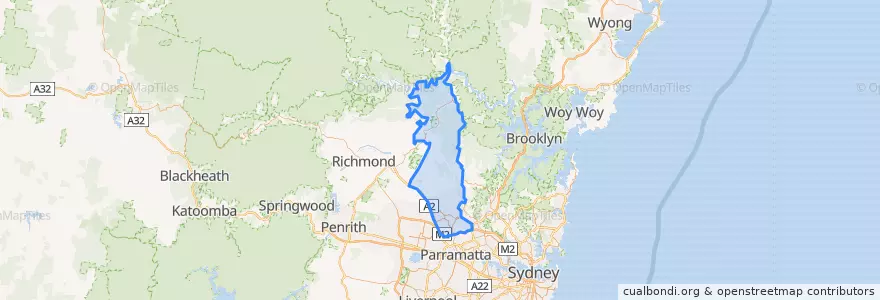
Routes of public transport
Stops
- 150.9426961, -33.6736621
- Castle Hill Interchange
- 150.97591300000002, -33.725076
- 150.92084690000002, -33.6890135
- Norwest
- 150.9622176, -33.735193
- Merriville
- 150.9597689, -33.7417661
- Riley T-Way
- 150.960984, -33.737075700000005
- 150.9592512, -33.7537639
- 150.97885240000002, -33.7240935
- 150.96759550000002, -33.7439935
- 150.9673165, -33.7425616
- 150.9402231, -33.6694477
- 150.964358, -33.7432017
- 150.9387882, -33.6882972
- 150.9631108, -33.7490771
- Ulundri Dr
- 150.9621376, -33.7444051
- 150.9425593, -33.6883306
- 150.894937, -33.663380100000005
- Hills Showground
- Rouse Hill Drive
- Kellyville
- 150.9151822, -33.6813359
- 150.99087970000002, -33.722010700000006
- 150.96974540000002, -33.7319164
- 151.00690790000002, -33.7247861
- Dewhurst Ave
Points of interest