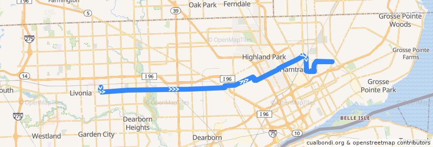
Route 38 EB: PRTC => Gratiot
Places that travel to
Points of interest near the route
Stops:
- -83.1357624, 42.3768449
- -83.1034534, 42.383070700000005
- -83.017359, 42.40092
- Elmhurst / Livernois (EB)
- -83.07701270000001, 42.393101400000006
- Calvert / Hamilton (EB)
- -83.0977707, 42.3851305
- -83.16425190000001, 42.373358100000004
- Plymouth / St Marys (EB)
- Plymouth / Auburn (EB)
- Mt Elliott / Huber (SB)
- Caniff / Alpena (EB)
- -83.10070710000001, 42.384065500000005
- Mound / Caniff (NB)
- -83.2434403, 42.3718634
- Calvert / 3rd (EB)
- -83.0287926, 42.390444800000004
- Miller / Carrie (EB)
- -83.08287800000001, 42.3906362
- -83.0470162, 42.404546200000006
- -83.2654291, 42.371511600000005
- Caniff / Conant (EB)
- Plymouth / Memorial (EB)
- -83.19951520000001, 42.3725338
- -83.29448500000001, 42.370806
- Caniff / Oakland (EB)
- Caniff / Cameron (EB)
- -83.2588096, 42.3716394
- Plymouth / Mark Twain (EB)
- Grinnell / McClellan NS (EB)
- -83.0375643, 42.3972197
- -83.0701744, 42.3959885
- Trowbridge / Woodward (EB)
- -83.08651060000001, 42.389300500000004
- Plymouth / Wyoming (EB)
- -83.0523495, 42.4025553
- Elmhurst / Monica (EB)
- -83.09484710000001, 42.3862121
- -83.0595576, 42.399910600000005
- -83.2631332, 42.3715549
- -83.16666740000001, 42.3732823
- Mt Elliott / Marcus (SB)
- Trowbridge / John R (EB)
- Plymouth / West Parkway (EB)
- -83.24601, 42.3718318
- -83.14140370000001, 42.376112
- Calvert / Woodrow Wilson (EB)
- Plymouth / Brady (EB)
- Plymouth / Griggs (EB)
- Grinnell / Raymond (EB)
- -83.0428064, 42.4066047
- Plymouth / Farley (EB)
- -83.0734044, 42.394415900000006
- -83.23930150000001, 42.371870900000005
- Plymouth / Schaefer (EB)
- -83.1907015, 42.372756300000006
- Miller / St Cyril NS (EB)
- -83.2861239, 42.3709852
- -83.23588740000001, 42.3718956
- Tuxedo / Linwood (EB)