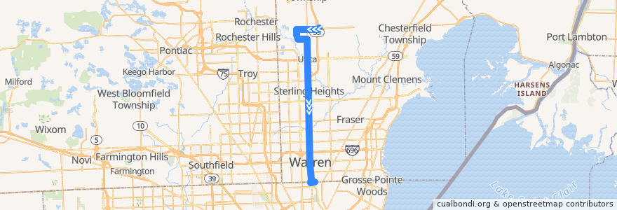
Route 510 SB: 23 Mile => Bel-Air
Places that travel to
Points of interest near the route
Stops:
- -83.032841, 42.6374553
- Van Dyke / Westminster (SB)
- -83.0288759, 42.5198693
- Van Dyke / Miller Dr (SB)
- -83.0289331, 42.547691900000004
- Van Dyke / Brougham NS (SB)
- Van Dyke / Constitution (SB)
- -83.0320983, 42.619406100000006
- 23 Mile / Van Dyke (WB)
- 23 Mile / Fisher Park (WB)
- Van Dyke / Independence (SB)
- -83.0316523, 42.610563000000006
- -83.0248459, 42.4489419
- Van Dyke / Taco Bell (SB)
- Van Dyke / River Vista (SB)
- Van Dyke / Convention (SB)
- -83.02706690000001, 42.472445300000004
- Van Dyke / Hall (SB)
- -83.0281066, 42.5006312
- -83.00990060000001, 42.6713438
- Van Dyke / Engleman NS (SB)
- -83.0279529, 42.4964108
- Bel-Air Center
- -83.0287615, 42.5166667
- 22 Mile / Oriole (EB)
- Van Dyke / Triangle (SB)
- -83.0252105, 42.6696382
- -83.0272977, 42.4790446
- Van Dyke / Kennedy Cir N (SB)
- -83.02921760000001, 42.5308361
- Van Dyke / 12 Mile NS (SB)
- Shelby Township Walmart
- Van Dyke / Continental NS (SB)
- Van Dyke / 16 1/2 Mile (SB)
- Van Dyke / 8 Mile NS (SB)
- -83.03235140000001, 42.6244704
- -83.03001760000001, 42.569233000000004
- -83.0269193, 42.468769300000005
- -83.0264351, 42.4575619
- Van Dyke / 19 Mile (SB)
- Van Dyke / BAE Systems (SB)
- Van Dyke / Francine (SB)
- Van Dyke / Plumbrook (SB)
- -83.0319575, 42.616658900000004
- -83.0291705, 42.550831900000006
- -83.0306099, 42.5841688
- -83.0273774, 42.4815332
- Van Dyke / Sterling Place (SB)
- Van Dyke / Hupp (SB)
- Van Dyke / Kennedy Cir S NS (SB)
- -83.0188373, 42.448331700000004
- -83.0348986, 42.669594800000006
- -83.038965, 42.6550306
- Van Dyke / 15 Mile NS (SB)
- -83.0382728, 42.669558200000004
- -83.02933270000001, 42.5361805
- Van Dyke / Speedway NS (SB)
- Van Dyke / Farnum (SB)
- -83.0272341, 42.4770904
- -83.0334198, 42.6544656