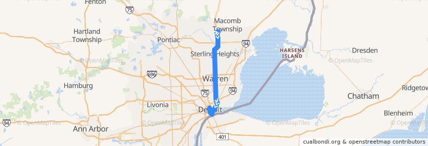
Route 515 SB: 23 Mile => VA Hospital
Places that travel to
Points of interest near the route
Stops:
- -83.0533343, 42.332796800000004
- Mack / Woodward (EB)
- Van Dyke / Tank (SB)
- John R / Canfield (NB)
- -83.05952640000001, 42.3538386
- Van Dyke / 12 Mile (SB)
- Van Dyke / 10 Mile NS (SB)
- -83.009916, 42.6698048
- -83.0263176, 42.455463900000005
- -83.056938, 42.349841500000004
- -83.02775720000001, 42.4909327
- -83.0435477, 42.3322086
- Van Dyke / Dale NS (SB)
- -83.0269193, 42.468769300000005
- Van Dyke / Convention (SB)
- -83.0281066, 42.5006312
- John R / Alexandrine NS (NB)
- -83.0480383, 42.330446
- Griswold / Larned (NB)
- -83.0507477, 42.3309292
- Van Dyke / 8 Mile NS (SB)
- John R / Canfield NS (NB)
- -83.05749490000001, 42.3475696
- -83.046441, 42.3295407
- Van Dyke / Civic Center S (SB)
- -83.0274729, 42.483685900000005
- Jefferson / Woodward (WB)
- -83.0289607, 42.522565900000004
- -83.0590786, 42.3531795
- -83.00990060000001, 42.6713438
- -83.0440976, 42.3290377
- Randolph / Farmer (SB)
- -83.0272977, 42.4790446
- Gratiot / St Antoine (SB)
- -83.0521353, 42.3316691
- -83.0285719, 42.511590000000005
- -83.0304069, 42.5792902
- -83.0581786, 42.351819600000006
- -83.02872710000001, 42.543378000000004
- Michigan / Cass NS (WB)
- -83.0431405, 42.3379082
- 23 Mile / Chelby Center NS (WB)
- -83.02933270000001, 42.5361805
- -83.0301458, 42.572333900000004
- -83.0291705, 42.550831900000006
- Fort / Griswold (WB)
- Sterling Heights Meijer
- Cass / Times Square (NB)
- Van Dyke / 14 Mile (SB)
- Jefferson / Woodward NS (WB)
- Cass / Adams NS (NB)
- Van Dyke / 16 1/2 Mile (SB)
- -83.0282736, 42.5643219
- -83.05479910000001, 42.335166
- Van Dyke / 11 Mile (SB)
- Gratiot / Beaubien
- -83.0248459, 42.4489419
- Randolph / Monroe (SB)
- -83.02829700000001, 42.505914700000005
- -83.0439937, 42.336825700000006