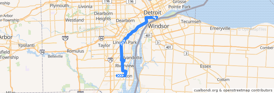
Route 830 NB: Trenton => Downtown
Places that travel to
Points of interest near the route
Stops:
- -83.05197430000001, 42.3316685
- Michigan / Washington (EB)
- -83.0477515, 42.331096800000005
- Dix / Saint Johns (NB)
- West / Edsel (EB)
- Dix / Lincoln Park Community Center (NB)
- Dix / Moran (NB)
- Cambridge / Fountain Park (WB)
- -83.1932914, 42.192222900000004
- West / Westfield (EB)
- -83.19331310000001, 42.2043985
- -83.1767634, 42.145985100000004
- -83.0505057, 42.331667
- -83.18902940000001, 42.177997700000006
- Larned / Brush (EB)
- -83.18887550000001, 42.1741594
- West / Bridge (EB)
- West / 4th (EB)
- Fort / Longsdorf (NB)
- -83.1773498, 42.143642400000004
- Jefferson / Harrison (NB)
- -83.19387760000001, 42.216341400000005
- Larned / St Antoine (EB)
- -83.1945304, 42.228956800000006
- -83.1801054, 42.1411225
- Michigan / 1st NS (EB)
- Trenton / Chestnut (NB)
- -83.1931613, 42.1995778
- -83.19370690000001, 42.2141072
- Jefferson / St Joseph (NB)
- -83.046441, 42.3295407
- -83.05701350000001, 42.331665
- -83.054468, 42.3316712
- Dix / Emmons (NB)
- -83.18849800000001, 42.141328
- Dix / Goddard (NB)
- -83.1892311, 42.1824335
- Trenton / Superior (NB)
- Fort / Vreeland (NB)
- -83.04131860000001, 42.3311148
- -83.1933503, 42.1412563
- Fort / Hale (NB)
- -83.1761623, 42.148889600000004
- Griswold / Congress (SB)
- Trenton / Walnut (NB)
- West / Fort (EB)
- -83.1948169, 42.2365009
- West / Rosewood (EB)
- -83.19434310000001, 42.2254085
- -83.1966144, 42.1412076
- -83.193261, 42.202677400000006
- -83.199758, 42.1411613
- -83.1755189, 42.152332900000005
- -83.1946035, 42.231000900000005
- -83.17640680000001, 42.1475707
- Dix / Brest (NB)
- Trenton / Leroy (NB)
- -83.19279490000001, 42.1896477
- Jefferson / Elm (NB)
- Jefferson / Helen (NB)