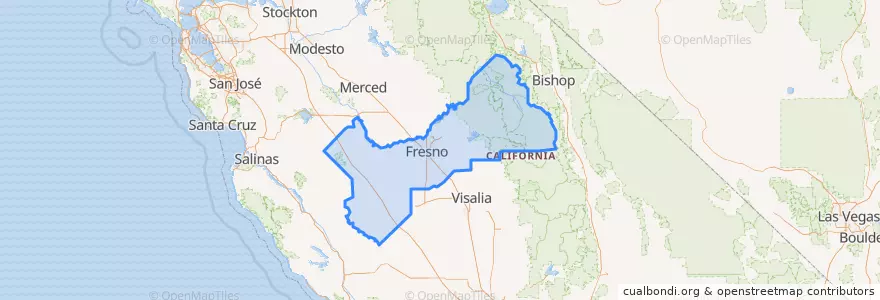
وارد شدن
کاربران ستاره
نظرسنجی
شروع
>
ایالات متحده آمریکا
>
کالیفرنیا
>
Fresno County
Fresno County
در نقشه تعاملی مشاهده کنید
مسیرهای حمل و نقل عمومی
Amtrak San Joaquins: Bakersfield => Oakland
Amtrak San Joaquins: Bakersfield => Sacramento
Amtrak San Joaquins: Oakland => Bakersfield
Amtrak San Joaquins: Sacramento => Bakersfield
Flixbus 2000: Los Angeles => Sacramento
Flixbus 2000: Sacramento => Los Angeles
Flixbus 2006: Los Angeles=> Sacramento
Flixbus 2006: Sacramento => Los Angeles
Flixbus N2003: San Diego => San Francisco
Flixbus N2003: San Francisco => San Diego
Flixbus N2006: Los Angeles => Reno
Flixbus N2006: Reno => Los Angeles
Flixbus N2008: Las Vegas => San Francisco
Flixbus N2008: San Francisco => Las Vegas
Hanford - Laton
Hanford - Laton
Hanford - Laton
Hanford - Laton
اماکن
Fresno
(10)
Fowler
(6)
Kingsburg
(6)
Selma
(6)
Clovis
(0)
Coalinga
(0)
Coalinga
(0)
Coalinga
(0)
Firebaugh
(0)
Fresno
(0)
Huron
(0)
Huron
(0)
Kerman
(0)
Mendota
(0)
Orange Cove
(0)
Parlier
(0)
Reedley
(0)
Sanger
(0)
San Joaquin
(0)
Squaw Valley
(0)
ایستگاه
FlixBus North Fresno
FlixBus Downtown Fresno
FlixBus Avenal
Fresno
Fresno
FlixBus Downtown Fresno
FlixBus Avenal
FlixBus North Fresno
نقاط مورد علاقه
Fresno
Fresno Greyhound Bus Station
Ryan Preparatory Seminary
Memorial Auditorium
Starbucks
Chevron
Iglesia La Luz Del Mundo
Subway
Church of God
Oliver's pub & restaurant
Arco
Holy Trinity Armenian Apostolic Church
Oriental Express
Monmouth Community Presbyterian Church
Keothip
Jack in the Box
IHOP
Full Gospel of God Tabernacle
Sikh Institute Fresno
Parlier
McDonald's
Valparaiso Cafe & Roastery
Firebaugh
Los Asaderos
Spiritual Awareness Center of Fresno
Starbucks
Kerman
Mabel's Kitchen
Kingdom Hall of Jehovahs Witnesses
Pizza Hut