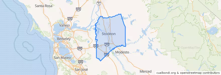
San Joaquin County
مسیرهای حمل و نقل عمومی
ایستگاه
- Stockton–Downtown
- Lodi
- Lathrop/Manteca
- Stockton–San Joaquin Street
- Lodi
- Tracy
- Stockton–San Joaquin Street
- FlixBus Stockton
- Tracy
- FlixBus Stockton
- Stockton–Downtown
- Lathrop/Manteca
نقاط مورد علاقه
- Ebenezer African Methodist Episcopal Church
- Arco AM PM
- Sikh Temple
- Ripon Assembly of God Church
- Saint Gertrudes Roman Catholic Church
- Goleman Library
- Arco
- Loves'
- El Pollo Loco
- Subway
- Calvary Bible Church
- Saint Peters School
- Valley Inn
- Downtown Parking Garage
- French Camp Elementary School
- Lawrence Elementary School
- Burwood School
- Free Methodist Church
- Wingstop
- Temple Bethesda
- Da Vinci's
- Stockton
- Bank of America Financial Center
- Shell
- Central Fire Station
- First Methodist Church
- Starbucks
- Stribley Community Cnter
- Lodi City Hall
- Middlebar Buddhist Monastery