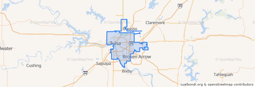
Tulsa
Laluan pengangkutan awam
Perhentian
- Mohawk Boulevard & North Owasso Avenue
- East 11th Street & South 89th East Avenue
- West 23rd Street South & South Phoenix Avenue
- Page Belcher Golf Course
- East 11th Street & South 91st East Avenue
- North Denver Avenue & West Cameron Street
- North Hartford Avenue & East 41st Place North
- East 3rd Street South & South Delaware Avenue
- East 11th Street & South 107th East Avenue
- East Admiral Place & North Mingo Road
- Union & 61st
- North Gilcrease Museum Road & West Admiral Boulevard
- South Denver Avenue & West 2nd Street South
- North Union Avenue & West Marshall Street
- East Admiral Place & South Hudson Avenue
- North 49th West Avenue & West Brady Street
- West Edison Street & North Xenophon Avenue
- Denver Avenue Station Bay 2
- East 56th Street North & North Garrison Avenue
- North Main Street & John Hope Franklin Boulevard
- South Union Avenue West & West 44th Street South
- South Boston Avenue & East 9th Street
- East 3rd Street & South Boston Avenue
- East 11th Street & South 89th East Avenue
- East 11th Street & South 111 East Avenue
- West Edison Street & North 23rd West Avenue
- East 36th Street North & North Hartford Avenue
- West 3rd Street & South Boulder Avenue
- East 36th Street North & North Lansing Place
- North Hartford Avenue & East 43rd Street North
Tempat menarik
- BOK Center
- This Machine
- Andolini's Sliced
- Hawthorne School
- Eat Cake
- Lawnwood Free Will Baptist Church
- Boulder Grill
- This Machine
- Arby's
- Tulsa
- Taco Bell
- Main Street Lunch Box
- Church of Christ
- Muslim Community Center
- Saint Pauls Church of the Nazarene
- Faith Center
- Golden Saddle BBQ
- Lombard School
- Commerce Bank
- Fair Oaks
- Childrens Blend Ministries
- This Machine
- Smashburger
- Hank's Hamburgers
- Tulsa Chinese Christian Church
- IBM
- ONEOK Field
- Chimera
- QuikTrip
- IBC Bank