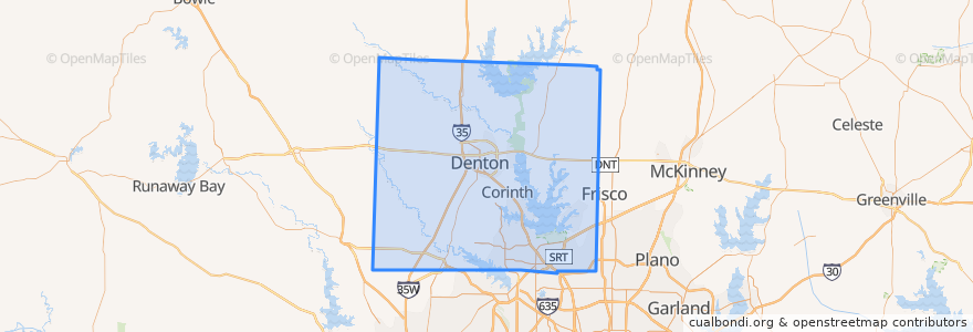
Denton County
대중 교통 경로
장소
- Denton(2)
- Justin(1)
- Krum(1)
- Northlake(1)
- Ponder(1)
- Sanger(1)
- Argyle(0)
- Aubrey(0)
- Bartonville(0)
- Copper Canyon(0)
- Corinth(0)
- Cross Roads(0)
- DISH(0)
- Double Oak(0)
- Flower Mound(0)
- Hackberry(0)
- Hebron(0)
- Hickory Creek(0)
- Highland Village(0)
- Krugerville(0)
- Lake Dallas(0)
- Lakewood Village(0)
- Lewisville(0)
- Lincoln Park(0)
- Little Elm(0)
- Oak Point(0)
- Pilot Point(0)
- Roanoke(0)
- Shady Shores(0)
- The Colony(0)
- Trophy Club(0)
버스 정류장
- -97.1494878, 33.2156466
- Mozart Square / Gateway
- -96.93698930000001, 32.9918244
- Fouts Field Transfer
- -96.937076, 32.9917676
- College Inn / EESAT
- Kerr Hall
- Student Rec Center
- Maple Hall
가볼만한 곳
- Aubrey
- The Colony
- Mule Barn
- Taco Bueno
- Crooked Crust
- Tom's Daiquiri Place
- Emergency Phone
- Caskey's
- Burger King
- Fuzzy's Taco Shop
- Windy City Grub Hub
- Which Wich?
- Hickory Creek
- Chick-fil-A
- Insomnia Cookies
- Highland Village
- Justin Methodist Church
- Starbucks
- Fuzzy's Taco Shop
- Sanger
- Double Oak
- Side Bar
- Krugerville
- Krispy Krunchy Chicken
- Lincoln Park
- Lonesome Spur
- Apostolic Assembly Church
- DISH
- Potbelly
- Copper Canyon