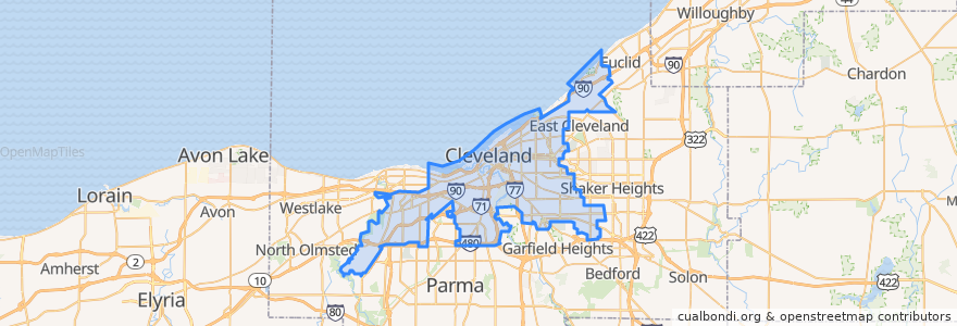
Cleveland
대중 교통 경로
장소
- Bratenahl(0)
버스 정류장
- East 79th
- Amtrak
- East 55th
- Amtrak
- South Harbor
- East 9th–North Coast
- East 116th–St. Luke’s
- Shaker Square
- Airport
- East 9th–North Coast
- Airport
- East 79th
- East 105th–Quincy
- South Harbor
- Tri-C–Campus District
- West Boulevard–Cudell
- Amtrak
- East 79th
- Tower City
- Brookpark
- East 55th
- East 55th
- Cedar–University
- Buckeye–Woodhill
- Amtrak
- West 25th–Ohio City
- Settlers Landing
- East 105th–Quincy
- East 79th
- East 55th
가볼만한 곳
- Rumor
- Otani Noodle
- Turn Bar + Kitchen
- Smokey Bones
- Judd's City Tavern
- Desi
- Erie Street Coffee
- United Free Will Baptist Church
- Little Caeser's
- McCarthy's
- Wilbert's
- Market Garden Brewery & Distillery
- Mr. Hero
- Second District Police Station
- Bier Market
- The Corner Alley
- Pura Vida
- Guthrie's
- Nick's Sports Corner
- New Mount Zion Primitive Baptist Church
- Major Hooples
- Winking Lizard
- Soul Dreamz Cafe
- West Side Market Cafe
- Cebars Euclid Tavern
- Bruegger's Bagels
- Pizza Joe's
- Murtis Taylor
- Burgers 2 Beer
- Fireball Lounge