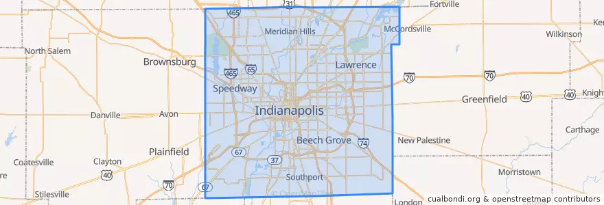
Indianapolis
مسیرهای حمل و نقل عمومی
ایستگاه
- -86.153605, 39.769722900000005
- Virginia Avenue & New Jersey Street SB
- Broad Ripple Station
- Virginia Avenue & Merrill Street SB
- College Avenue & 52nd Street
- College Avenue & 52nd Street
- College Avenue & 66th Street BRT
- Virginia Avenue & Woodlawn Street
- O
- College Avenue & 54th Street
- College Avenue & 54th Street
- College Avenue & Kessler Boulevard
- -86.1542809, 39.768809600000004
- Broad Ripple Station
- S
- College Avenue & Kessler Boulevard
نقاط مورد علاقه
- Our Lady of Lourdes School
- True Light Baptist Church
- Mount Calvary Baptist Church
- Ravenbrook Widow Baptist Church
- Horizon Bank
- Starbucks
- Irvington Circle Fountain
- Punch Burger
- Rook
- Marathon
- Bru Burger Bar
- CVS Pharmacy
- Starbucks
- Bible Pentecostal Church
- First Meridian Heights Presbyterian Church
- Sub-Zero Ice Cream & Yogurt
- Five Guys
- Bethel Pentecostal Tabernacle
- Pentecostal Church of Promises
- Lawrence
- Saint Marys School
- Abyssinian Baptist Church
- PNC
- Warren Park
- Qdoba
- Church of God in Christ
- Circle City Station Indianapolis Post Office
- Old Land Mark House of Prayer
- Church of God in Christ
- BMO Harris Bank