Clifton
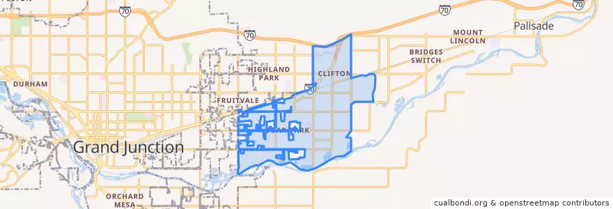
Routes of public transport
Stops
- D Road + West of 31 1/2 Road
- 32 Road + North of E Road (Gas Station)
- 32 1/2 Road + South of D 1/4 Road
- Clifton Transfer Station
- 32 Road + North of D 1/2 Road
- D Road + Crystal Drive
- D 1/2 Road + Clear Creek Drive
- Front Street + East of 3rd Street
- 32 1/2 Road + South of E 1/2 Road
- D 1/2 Road + East of 32 3/8 Road
- E Road + East of Green Acres Street
- E 1/2 Road + West of 32 Road (Coronado Plaza)
- 32 Road + South of D 1/2 Road
- D Road + East of Alamo Street
- 32 Road + North of Candlewood
- D Road + West of Wedgewood Avenue
- Highway 6 + West of 33 Road (NO SIGN)
- 32 1/2 Road + North of E Road
- D 1/2 Road + West of Pera Street
- 33 Road + North of E Road
- 32 1/2 Road + South of Lucile Avenue
- E 1/2 Road + East of Honeycomb Lane
- Front Street + West of 33 Road
- D Road + West of Roberts Road
- 32 Road + Kennedy Avenue
- 33 Road + North of San Felipe Avenue
- Highway 6 + East of Lois Street (NO SIGN)
- 32 Road + Elm Avenue
- 1st Street + Grand Avenue
- E 1/2 Road + East of Primavera Street