логин
Звездные пользователи
Голосование
Дом
>
Испания
>
Мадрид
>
Мадрид
>
Área metropolitana de Madrid y Corredor del Henares
>
Alcobendas
>
Legolas
Как добраться до
Legolas
?
напишите первый отзыв
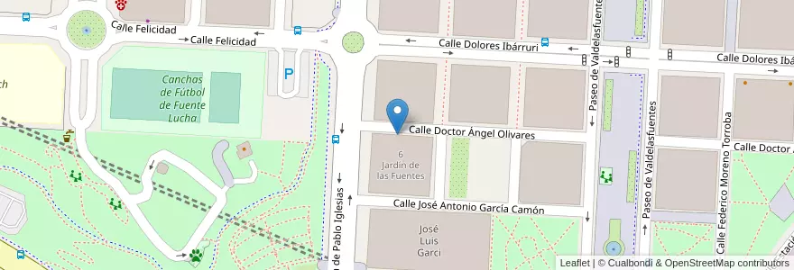
Смотрите на интерактивной карте
Маршруты общественного транспорта, которые проходят рядом с этим местом
- Bus 157C: Alcobendas (Valdelasfuentes) → Plaza Castilla
- Bus 157C: Plaza Castilla → Alcobendas (Valdelasfuentes)
- Bus 828: Madrid (Canillejas) → Alcobendas → Universidad Autónoma
- Bus 828: Universidad Autónoma → Alcobendas → Madrid (Canillejas)
- C11 Circular Valdelasfuentes - Pso de la Chopera - Valdelasfuentes
- C-4a. Alcobendas - S.S. de los Reyes → Sol → Parla
- C-4a. Parla → Sol → Alcobendas - S.S. de los Reyes
Близлежащие остановки
Valdelasfuentes
-3.6564852, 40.5470774
-3.6544955, 40.5503228
-3.6574396, 40.5504291
-3.6568044, 40.5479403
-3.6575595, 40.5474253
-3.6566258, 40.5507789
-3.656983, 40.5494422
Valdelasfuentes