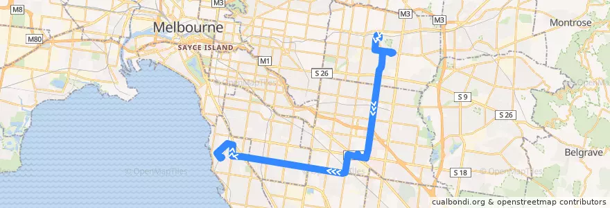
Route Bus 703: Blackburn => Monash University & Clayton & Bentleigh => Middle Brighton
Sehenswürdigkeiten in der Nähe der Route
Haltestellen:
- North Brighton Station
- Cypress Avenue
- Cooke Street
- 145.06364050000002, -37.9217656
- Mackie Road
- Waverley Private Hospital
- 145.02059640000002, -37.9163319
- 145.0700038, -37.9226204
- Samada Street
- Tambo Court
- The Avenue
- Middle Brighton Station
- Monash Medical Centre
- Savige Avenue
- Vicki Street
- 145.10081590000001, -37.9263696
- Clayton Shopping Centre
- 145.10209260000002, -37.926530400000004
- Farm Road
- Wandinong Sanctuary
- Clayton Station
- Princes Highway
- 145.05601230000002, -37.9208346
- Duerdin Street
- 145.09809080000002, -37.9260141
- Ferntree Gully Road
- 145.0169701, -37.9158494
- 145.03705680000002, -37.9182689
- Avonhurst Drive
- Bradford Street
- 145.0252313, -37.916932800000005
- 145.0324947, -37.917800400000004
- Hampton Street
- Normanby Road
- East Boundary Road
- Blackburn Road
- Linum Street
- Eley Road
- Sesame Street
- Cornwall Street
- Myriong Street
- Warrigul Road
- 145.0464422, -37.919573500000006
- 145.0068347, -37.914107900000005
- Alice Street
- Forest Hill Shopping Centre
- Lavelle Street
- 145.05426350000002, -37.920640000000006
- Ray Road
- Canterbury Road
- Utah Road
- Deans Wood Road
- 145.0069896, -37.9131937
- Hawthorn Road
- Highbury Road
- Crawford Road
- 144.9929697, -37.9123706
- 145.11513680000002, -37.928119200000005
- 145.04182880000002, -37.9189896
- Burwood Highway