Anmelden
Star-Benutzer
Umfrage
Startseite
>
Australien
>
Neusüdwales
>
Council of the City of Sydney
>
Sydney
>
Subway
Wie komme ich nach
Subway
?
schreibe die erste Bewertung
Fast Food
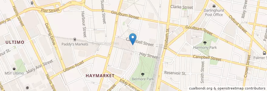
Siehe in der interaktiven Karte
Öffentliche Verkehrsmittel, die neben diesem Ort verlaufen
- Airport & South Line
- Airport & South Line
- Airport & South Line
- Airport & South Line
- Bankstown Line
- Bankstown Line
- Bankstown Line
- Bankstown Line
- Bus 431: City Martin Place => Glebe Point
- Bus 431: Glebe Point => City Martin Place
- Bus 433: Balmain Gladstone Park => Central Pitt St
- Bus 433: Central Pitt St => Balmain Gladstone Park
- Dulwich Hill Line
- Dulwich Hill Line
- Eastern Suburbs & Illawarra Line
- Eastern Suburbs & Illawarra Line
- Eastern Suburbs & Illawarra Line
- Eastern Suburbs & Illawarra Line
- Inner West & Leppington Line
- Inner West & Leppington Line
- Inner West & Leppington Line
- Inner West & Leppington Line
- Kingsford Line
- Kingsford Line
- N11
- Northern Line
- Northern Line
- North Shore Line
- North Shore & Western Line
- North Shore & Western Line
- North Shore & Western Line
- North Shore & Western Line
- Randwick Line
- Randwick Line
Haltestellen in der Nähe
Pitt St opp Barlow St
Central
Capitol Square
Hay St opp Belmore Park
Pitt St at Barlow St
Haymarket
Chinatown
Haymarket
Chinatown
Capitol Square
Central