Login
Usuarios estrella
Encuesta
Inicio
>
Australia
>
Australia Meridional
>
Adelaide
>
Adelaide City Council
>
KFC
Cómo llegar a
KFC
?
escribe la primer reseña
comida rápida
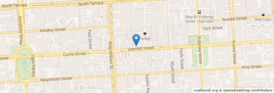
Ver en mapa interactivo
Recorridos de transporte público que pasan por este lugar
- 222 - City (King William Street) to Mawson Lakes
- 222 - Mawson Lakes to City (King William Street)
- 224 - City to Elizabeth Interchange via Mawson Interchange
- 224 - Elizabeth Interchange to City via Mawson Interchange
- 224F - City to Elizabeth Interchange via Mawson Interchange Limited Setdown
- 224X - City to Elizabeth Interchange Express to Stop 29 then Mawson Interchange
- 253X - Mansfield Park to City
- 99A - City anti-clockwise loop via Town Hall, Rundle Mall, State Library & Museums, Royal Adelaide Hospital and Adelaide Central Market
- 99C - City clockwise loop via Town Hall, Rundle Mall, State Library & Museums, Royal Adelaide Hospital and Adelaide Central Market
- Bus 719 - City to Flinders University via South Road
- Bus 719 - Flinders University to City via South Road
- Bus 721 - Noarlunga Centre Interchange to City via Old Reynella
- Bus 721 - Noarlunga Centre Interchange to City via Old Reynella
- Bus 830F - City to Lobethal
- Bus 830F - Lobethal to City
Paradas cercanas
Stop F1 Grenfell Street - North side
Stop B1 King William Street - East side
138.59966210000002, -34.9261214
138.5993555, -34.9219163
138.5994952, -34.923742700000005
138.59980040000002, -34.9251285
138.5995581, -34.922049200000004
138.5995652, -34.9247152
Stop W2 King William Street - West side
138.5997595, -34.9246485
Stop D1 King William Street - East side
138.59990720000002, -34.926674000000006
Stop E1 King William Street - East side