وارد شدن
کاربران ستاره
نظرسنجی
شروع
>
استرالیا
>
New South Wales
>
Council of the City of Sydney
>
Sydney
>
Chinese
چگونه به آن برسیم
Chinese
؟
اولین نظر را بنویسید
رستوران
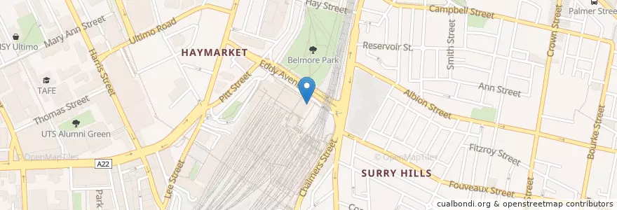
در نقشه تعاملی مشاهده کنید
مسیرهای حمل و نقل عمومی که کنار این مکان می گذرد
- Airport & South Line
- Airport & South Line
- Airport & South Line
- Airport & South Line
- Bankstown Line
- Bankstown Line
- Bankstown Line
- Bankstown Line
- Bus 431: City Martin Place => Glebe Point
- Bus 431: Glebe Point => City Martin Place
- Bus 433: Balmain Gladstone Park => Central Pitt St
- Bus 433: Central Pitt St => Balmain Gladstone Park
- Central Coast & Newcastle Line
- Dulwich Hill Line
- Dulwich Hill Line
- Eastern Suburbs & Illawarra Line
- Eastern Suburbs & Illawarra Line
- Eastern Suburbs & Illawarra Line
- Eastern Suburbs & Illawarra Line
- Inner West & Leppington Line
- Inner West & Leppington Line
- Inner West & Leppington Line
- Inner West & Leppington Line
- Kingsford Line
- Kingsford Line
- N11
- Northern Line
- Northern Line
- North Shore Line
- North Shore & Western Line
- North Shore & Western Line
- North Shore & Western Line
- North Shore & Western Line
- Randwick Line
- Randwick Line
- Train Indian Pacific
- Train Indian Pacific
ایستگاه های نزدیک
Pitt St opp Barlow St
Central
151.2059484, -33.8826835
Central
151.2060037, -33.8827142
Central
Central
Central
Central
Hay St opp Belmore Park
Pitt St at Barlow St
Central Chalmers Street
Haymarket
Central
Central
Central
Central
Central
Haymarket
Central Chalmers Street
Central
Central
Sydney