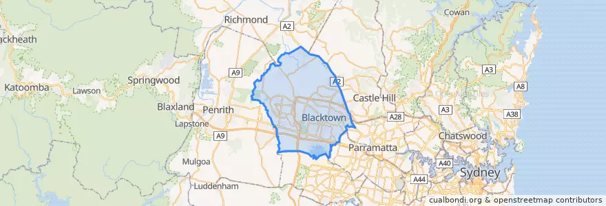
Routes of public transport
Stops
- 150.92053850000002, -33.780219800000005
- Tallawong
- 150.9236994, -33.7954438
- 150.9514402, -33.757559400000005
- Schofields
- 150.92018090000002, -33.781674200000005
- 150.9064975, -33.7703137
- Joseph Banks T-Way
- 150.9130373, -33.7725017
- Seven Hills
- Abbott T-Way
- 150.92013880000002, -33.7874499
- Riverstone
- 150.9261844, -33.7974668
- 150.9369904, -33.7522091
- Marayong
- 150.945735, -33.7538221
- 150.87417860000002, -33.6573794
- James Cook Drive Near Orton Street
- 150.9063553, -33.770465200000004
- 150.9339529, -33.749316900000004
- Whitby & Banks
- Quakers Hill
- James Cook Drive Near Orton Street
- 150.9278207, -33.8042515
- 150.92034030000002, -33.7777672
- Platform 1, Mount Druitt station
- Bessemer T-Way
- 150.90787, -33.7733018
- Turner T-Way
Points of interest