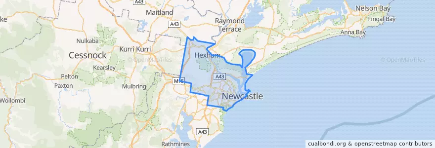
Newcastle City Council
مسیرهای حمل و نقل عمومی
ایستگاه
- Queens Wharf
- Watkins St Near Berner St
- Broadmeadow, Platform 2
- Ridge St Near Morgan St
- Union St Near Patrick St
- National Park St Near Marketown
- King St before Darby St
- Parkway Av Near Corlette St
- Lawson St Near Darling St
- Lawson St Near Jenner Pde
- King Street after Auckland St
- Queens Wharf
- Donald St Near Beaumont St
- James St Near Lockyer St
- Light St Near Tooke St
- King St Near Ravenshaw St
- Union St Near Brien St
- King St Near National Park St
- Henry St Near Herbert St
- Honeysuckle
- Fowler St Near Hassall St
- Alice St Near Pacific Hwy
- Fowler St Near Coady St
- Beaumont St Near Donald St
- Steel St Near Parry St
- Macquarie St Near Whitely Cl
- King st at Wolfe St
- Kotara, Platform 1
- Ridge St Near Ranclaud St
- King St at Perkins St
نقاط مورد علاقه
- Olive Branch Cafe
- Antojitos
- Crust Pizza
- The Basement
- Sunny House
- Pacifc Smiles
- Crown & Anchor Hotel
- Greater Building Society
- Susuru Ramen & Gyoza
- Hahesha
- Parry St Garage
- One Picket Fence
- Hamilton R.S.L Club
- sapphire Indian
- Suspension
- The Providore
- Subway
- Westpac
- Albion Hotel
- The Family Hotel
- Chemmart Pharmacy
- Clarry's Take Away
- Shell Nine Ways
- Kotara Post Office
- Cielo Italiano
- Mission to Seafarer (Flying Angel)
- Hog's Breath Cafe
- Sushi Cafe
- ANZ
- 3 Bean Cafe