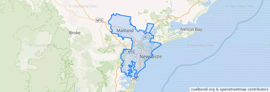
Newcastle-Maitland
대중 교통 경로
버스 정류장
- Hill St after Evans St
- Newcastle Interchange
- Brooks Pde after Maude St
- Union St Near Patrick St
- Booragul, Platform 2
- Fenton Av Near Light St
- Pacific Hwy after Maude St
- King St after Darby St
- James St Near Glebe Rd
- Steel St Near Parry St
- Kotara, Platform 1
- King St at Burwood St
- Honeysuckle Dr Near Workshop Way
- Bingle St Near High St
- Spinnaker Rgwy opp Jib St
- Evans St at Pacific Hwy
- Lawson St Near Jenner Pde
- Ridge St Near Ranclaud St
- Alice St Near Wilton St
- Newcastle Interchange, Stewart Av
- Pacific Hwy opp Macquarie St
- Beaumont St Near Tudor St
- Union St Near Junction Fair
- Ridge St Opp Kempster Rd
- Union St Near Kenrick St
- Bolton St Near Church St
- Ridge St Near Merewether St
- Watkins St Near Berner St
- James St Near Lockyer St
- Fowler St Near Hassall St
가볼만한 곳
- Antojitos
- Subway
- Vietking
- Blackbutt Fish & Chips
- Supper Lane
- Goldbergs Coffee House
- Shortland Centenary Fountain
- Momo Wholefood Cafe
- Valerie’s Pizza
- Newcastle Family Practise
- Goodfriends
- Larnna Thai
- Oriental Hotel
- Maitland City Council
- McDonald's
- St George Business Banking Centre
- Three Bears Kitchen
- Aloi Thai
- closed
- Babylon
- Napoli Centrale Pizza Bar
- Terry White Chemists
- Commonwealth Bank
- Cardiff Bakehouse
- Hamilton R.S.L Club
- Zinc
- Son of a Gun
- Newcastle City Council
- Baggas
- Chan Chan Peruvian Cantina