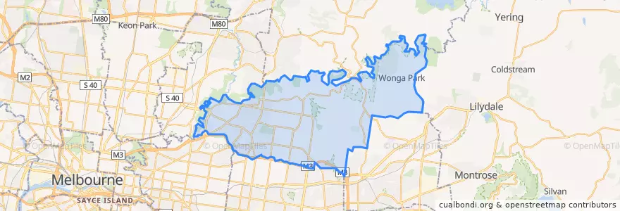
City Of Manningham
مسیرهای حمل و نقل عمومی
ایستگاه
- Church Road
- Serpells Road
- Roy Street
- Montgomery Place/Manningham Road
- High Street/Manningham Road
- Carawatha Road/Doncaster Road
- Grant Olson Avenue/Manningham Road
- Porter Street
- Williamsons Road
- Montpellier Crescent
- Doncaster Police Station
- Williamsons Road
- Foote Street
- Pine Way
- Shirvington Place
- Doncaster Junction/Doncaster Road
- Heatherwood School
- Macedon Road/Manningham Road
- Killarney Road/Manningham Road
- Foote Street
- Rasmussen Drive
- Aquarena Leisure Centre
- Bayley Grove/Doncaster Road
- Old Warrandyte Road
- Parkwood Place
- Burgundy Drive/Manningham Road
- Saint Georges Avenue
- Henry Street
- Harcourt Street/Doncaster Road
- Blackburn Road
نقاط مورد علاقه
- Church Of God
- United
- Cafe Julia
- Kats Cakes
- Doncaster Shoppingtown Bus Interchange
- St David's Anglican Church
- Indulgence Cafe
- BOQ
- Three Red Stripes
- East Alley
- Lucky Corner
- Sammy's In Templestowe
- Miku Japanese Dining
- Domino's
- Rajbhog
- Rooster Rock
- Maharaja
- Subway
- KFC
- Temple Hills Medical Centre
- Shoppingtown Hotel
- Kebabs
- Hungry Jacks
- Public Toilets
- Grainstore Bakery
- Bullen Heights 2nd campus
- Pharmacy
- Bob's Your Uncle
- Tender Trap Restaurant and Wine Bar
- Filli's Cafe