Login
Star users
Poll
Home
>
United States
>
Texas
>
Collin County
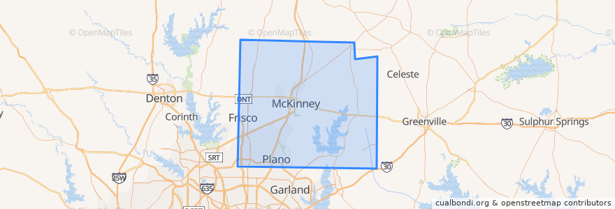
Collin County
See in interactive map
Routes of public transport
DART 210 Jack Hatchell Express
DART 410 Parker Road Station/South Garland Transit Center
Orange Line: DFW Airport => Parker Road
Orange Line: Parker Road => DFW Airport
Red Line: Cedars => Parker Road
Red Line: Parker Road => Cedars
Red Line: Parker Road => Westmoreland
Red Line: Westmoreland => Parker Road
Places
Allen
(0)
Anna
(0)
Fairview
(0)
Farmersville
(0)
McKinney
(0)
Melissa
(0)
Murphy
(0)
Nevada
(0)
Parker
(0)
Stops
-96.70091670000001, 33.0207982
-96.7030514, 33.0022559
-96.7007724, 33.033856300000004
-96.7006485, 33.033853400000005
-96.7030926, 33.002267100000005
-96.70086500000001, 33.0207988
Points of interest
Jörg's Cafe Vienna
Subway
Texas Stroke Institute
Coit Street Inspections
Ye Ole Butcher Shop
Plano Post Office - Downtown Station
Edoko Sushi & Robata
Collin County
Schlotzsky's Deli
Haggard Park Pond Fountain South
Routh Cemetery
Fernando's Mexican Cuisine
Brix
Caddo Mills
Coal Vines
Nest Burger
Fuddruckers
Martin Chiropractic
Nevada
Kelly's Eastside
Einstein Bros. Bagels
Anna
Murphy
On The Rocks
Farmersville
Apollonia's Italian Kitchen
Subway
Plano Post Office - Downtown Station
QuikTrip
Prosper